Intelligent Disaster Prevention and Tactical Reconnaissance — Scout Satellite Communications AI Drone Solution
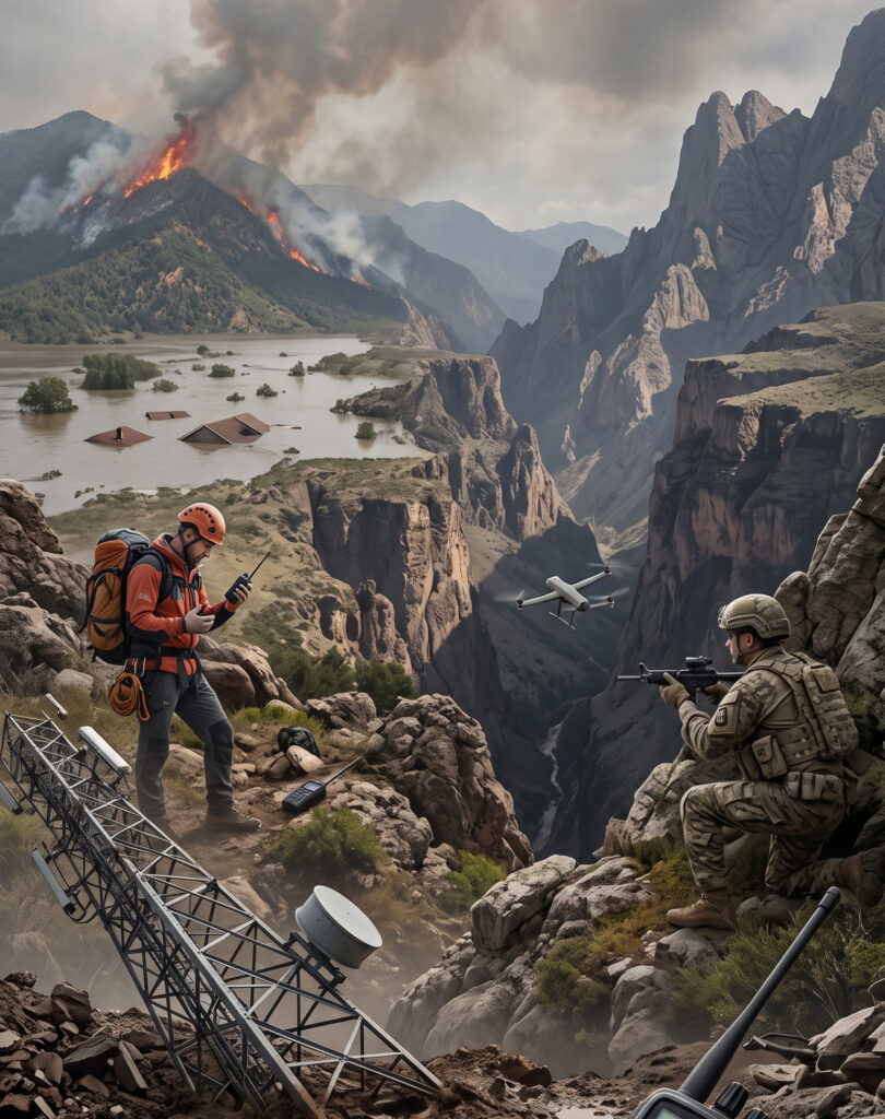
▌Industry Background and Challenges
In mountain search and rescue operations, wildfire prevention, natural disaster response, or military reconnaissance missions, communication disruptions and limited line-of-sight are often the biggest fatal flaws.
Traditional drones and ground communication equipment face the following pain points:
1. Communication dead zones and network outage risks: Ground base stations in disaster areas may be damaged, or drones may lose connection in remote terrains such as deep mountains or seas without 4G/5G network coverage.
2. Limited transmission distance: Traditional remote controller signals are limited by terrain obstructions, making it impossible to perform long-distance missions beyond visual line of sight (BVLOS).
3. Data silos: Images and data gathered at the front lines are difficult to synchronize in real time with remote command centers, leading to delays in rescue or decision-making.
4. Sensor signal transmission failure: Ground sensors in disaster areas or harsh environments may be unable to transmit critical data (such as water levels and gas concentrations) due to network outages.
Solution
▌Solution Overview
Creative5’s unmanned vehicle solution is centered on integrating satellite communication to give vehicles “beyond-line-of-sight” operation capabilities.
By integrating hardware, the Ceres cloud platform, and proprietary communication technology, we provide automated drone systems that can operate stably in remote terrains and without internet access, solving the problems of traditional drones being limited by ground base stations and communication dead zones.
▌Core vehicle: Scout unmanned aerial vehicle (UAV)
The core vehicle of this solution is the Scout drone, a hybrid communication multi-rotor drone with AI reconnaissance capabilities designed for harsh environments.
【Hardware and Communication Specifications】
● Hybrid Communication Technology: Equipped with TN + NTN + LoRaWAN communication modules.
● High-Altitude Signal Relay: After takeoff, it can act as an “aerial LoRa signal relay station,” significantly extending the signal reception range of ground-based IoT devices.
● Professional Reconnaissance Payload: Equipped with optical/infrared (EO/IR) payloads, supporting day and night reconnaissance in complex environments.
▌Integrated Application Areas (Use Cases)
By combining Scout drones with the satellite communication ecosystem, pain points in the following areas can be directly addressed:
1. Disaster Prevention and Reconnaissance
Application Scenarios: Search and rescue operations in remote terrain, and aerial reconnaissance after natural disasters (earthquakes/floods).
Wildfire Early Warning: Combining EO/IR payloads to conduct wildfire reconnaissance and early warning in dangerous areas at the first opportunity.
Emergency Command Support: In the event of power or network outages due to typhoons or earthquakes, drones can act as airborne relays, working in conjunction with rapidly deployable portable satellite command stations on the ground for personnel dispatch and communication.
2. Military and Defense
Tactical Mesh Network: Establishing tactical mesh networks and satellite relays, completely independent of ground base stations.
Drone Collaboration and Intelligence Reporting: Supporting drone swarm collaborative operations, ensuring that troop location tracking and security intelligence can be reported to the command center in a timely and stable manner.