Smart Livestock Tracking and Drone Satellite Communication Solution
▌Industry Background and Challenges
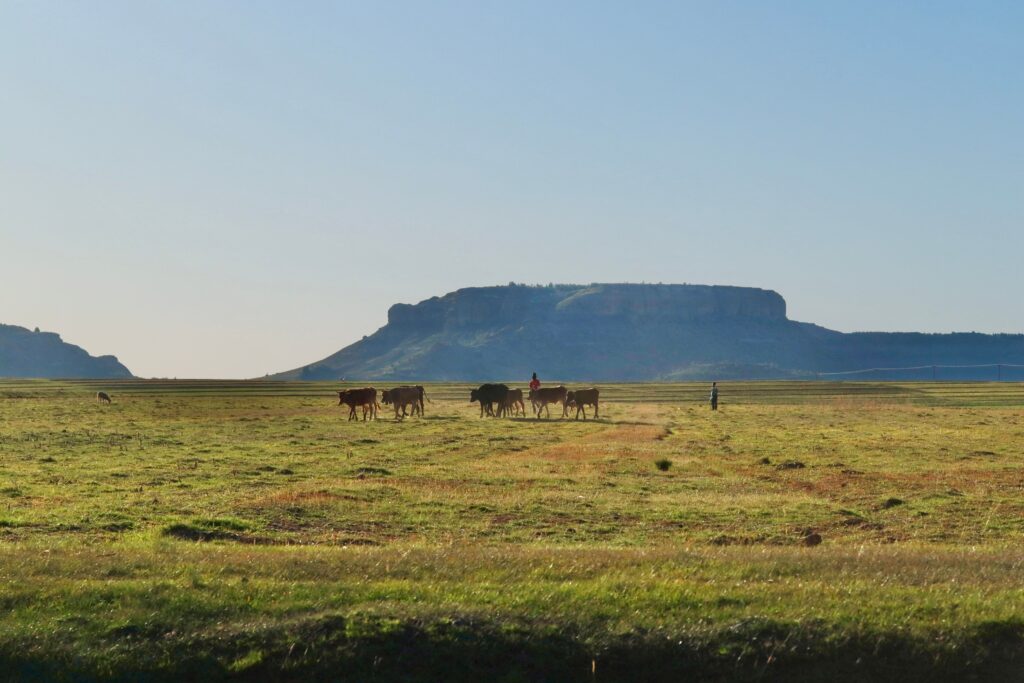
In countries like Uruguay, with vast natural pastures (nearly 80% of the land is natural grassland), cattle typically graze outdoors year-round. However, these large farms face significant management challenges:
1. Communication blind spots and limited infrastructure: Extensive grazing areas often lack cellular network coverage, rendering traditional networking methods ineffective.
2. High demand for visualization and traceability: There is a strong market demand for real-time livestock visibility and product traceability.
3. Operational risks and asset loss: In remote and rural areas lacking real-time monitoring, cattle are prone to getting lost or being stolen, and rapid response to emergencies is difficult.
Solution
▌Solution Overview
Creative5 has proposed a smart livestock tracking solution: a “UAV + HESTIA A2 LoRaWAN gateway.” This solution transforms unmanned aerial vehicles (UAVs) equipped with HESTIA A2 devices into “mobile LoRaWAN gateways.” As the UAVs fly over vast pastures, they can collect data from the “solar-powered smart ear tags” of cattle over a wide area. Subsequently, the system analyzes abnormal states through edge computing and uploads critical data to the cloud via the NTN satellite communication network, enabling farm managers to achieve real-time, 24/7 monitoring, overcoming terrain and network limitations.
▌Core vehicles and hardware
1. Solar Ear Tag (LT-10): A terminal sensing device worn on cattle, featuring the following characteristics: Precise positioning and activity detection: Built-in GPS positioning and motion detection. Durability: Solar-powered and IPX7 rugged waterproof rating, suitable for harsh outdoor environments. Long-range transmission: Uses LoRaWAN technology to transmit signals.
2. Core Vehicle and Communication Gateway: UAV + HESTIA A2 Drone (UAV): Serves as an aerial patrol vehicle, overcoming terrain obstacles to conduct large-area signal collection. HESTIA A2 (NTN + LoRaWAN Gateway): Mounted on the drone, responsible for data aggregation, edge processing, and providing NTN satellite connectivity.
3. Cloud-based Situation Platform: Data collected by CeresHub will be seamlessly integrated into the CeresHub cloud platform, providing the following visual management tools: Live Location Tracking and Historical Playback; Geofence & Alert Management; Activity & Health Monitoring; AI Analytics & Insights, generating source tracing reports.
▌Integrated application areas and benefits
This solution significantly reduces lower infrastructure and maintenance costs and has broad applications in the following areas: Large-scale cattle farms and remote rural areas: Enabling real-time visibility of vast grazing areas, effectively reducing operational risks such as lost or stolen cattle.
Livestock traceability and sustainable agriculture: Providing complete data traceability to support global market requirements for product traceability and sustainability.
Insurance and risk management: Providing insurance institutions with accurate livestock data to facilitate risk assessment and rapid incident response.
Government and agricultural programs: Assisting government agencies in understanding regional agricultural and livestock dynamics and implementing intelligent management.